
0 m · Surface · Quintana Roo · Yucatán · Campeche
Yucatán Travel Guide: Maya Ruins, Cenotes, Beaches and Their Stories
Quintana Roo, Yucatán and Campeche share one limestone shelf, two very different coasts and roughly three thousand years of Maya history. This magazine covers where to swim, what to see and how the old cities are read today.
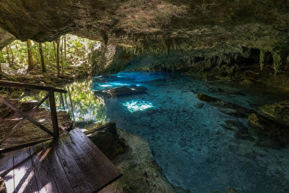
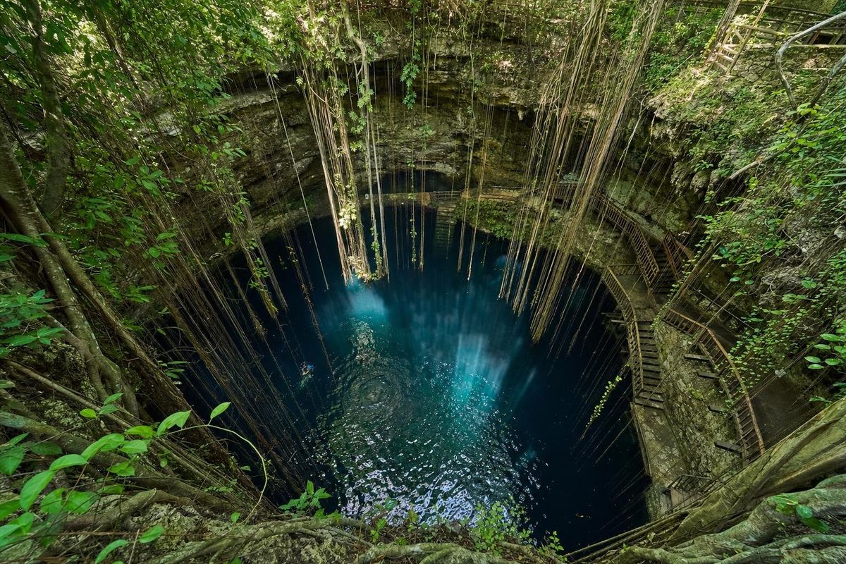
Beaches, lagoons & cenotes
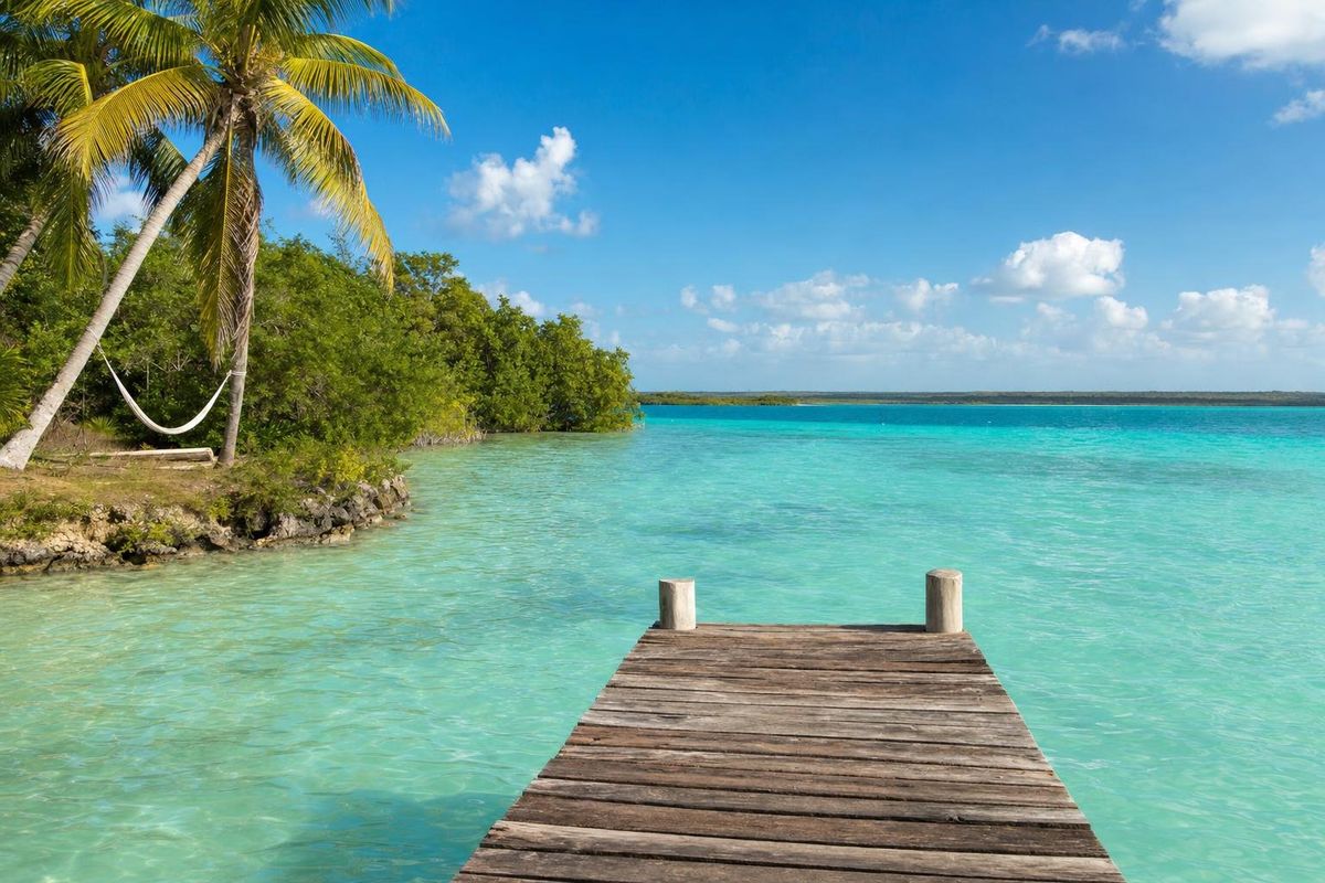
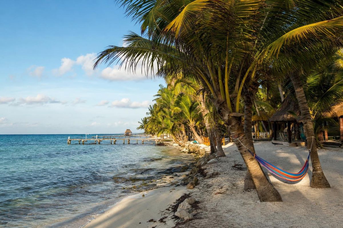
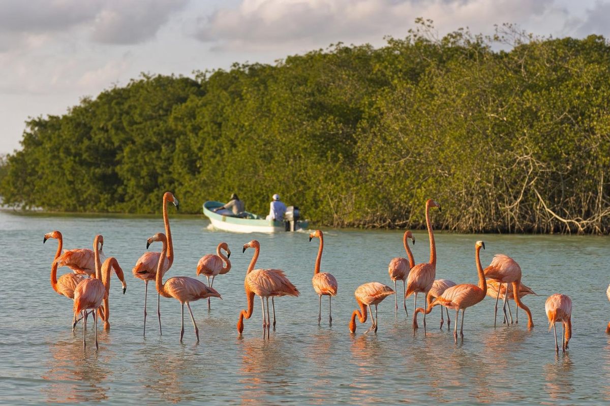
Maya ruins
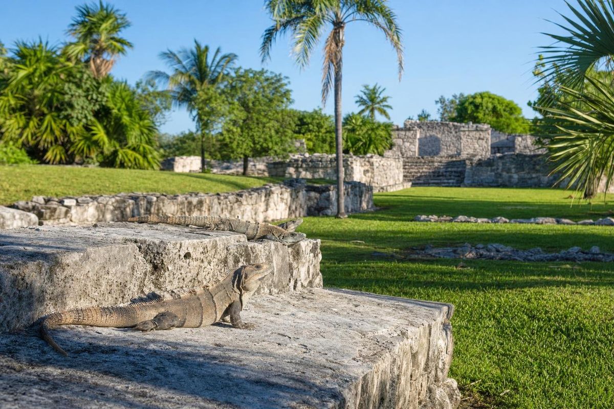
El Rey A Late Postclassic Maya town strung along a stone street between lagoon and sea, now shared with hundreds of basking iguanas.
Maya mysteries
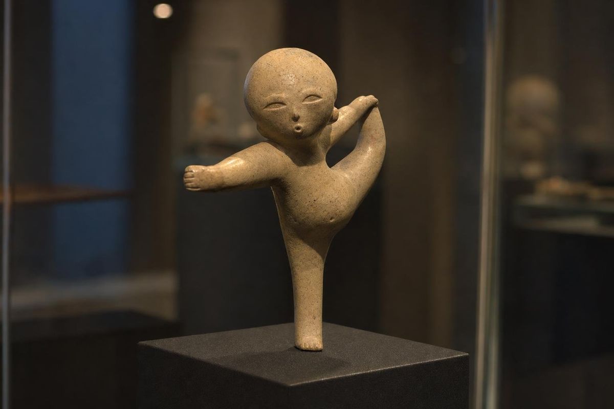
AI-generated image Acrobats
Babies with jaguar mouths and a clay acrobat with his feet over his head: early Mexican art about changing form.
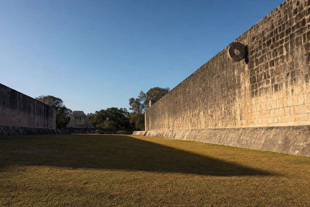
AI-generated image Ballplayers
A heavy rubber ball, padded hips and a long walled alley: the oldest known team sport in the Americas.
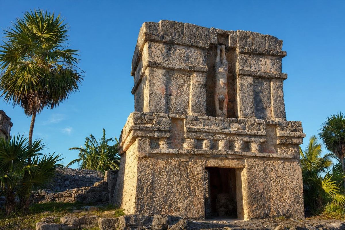
AI-generated image Descending God
A small winged figure dives head first above the doors of Tulum. Sun, bee, Venus or maize god: the debate is still open.
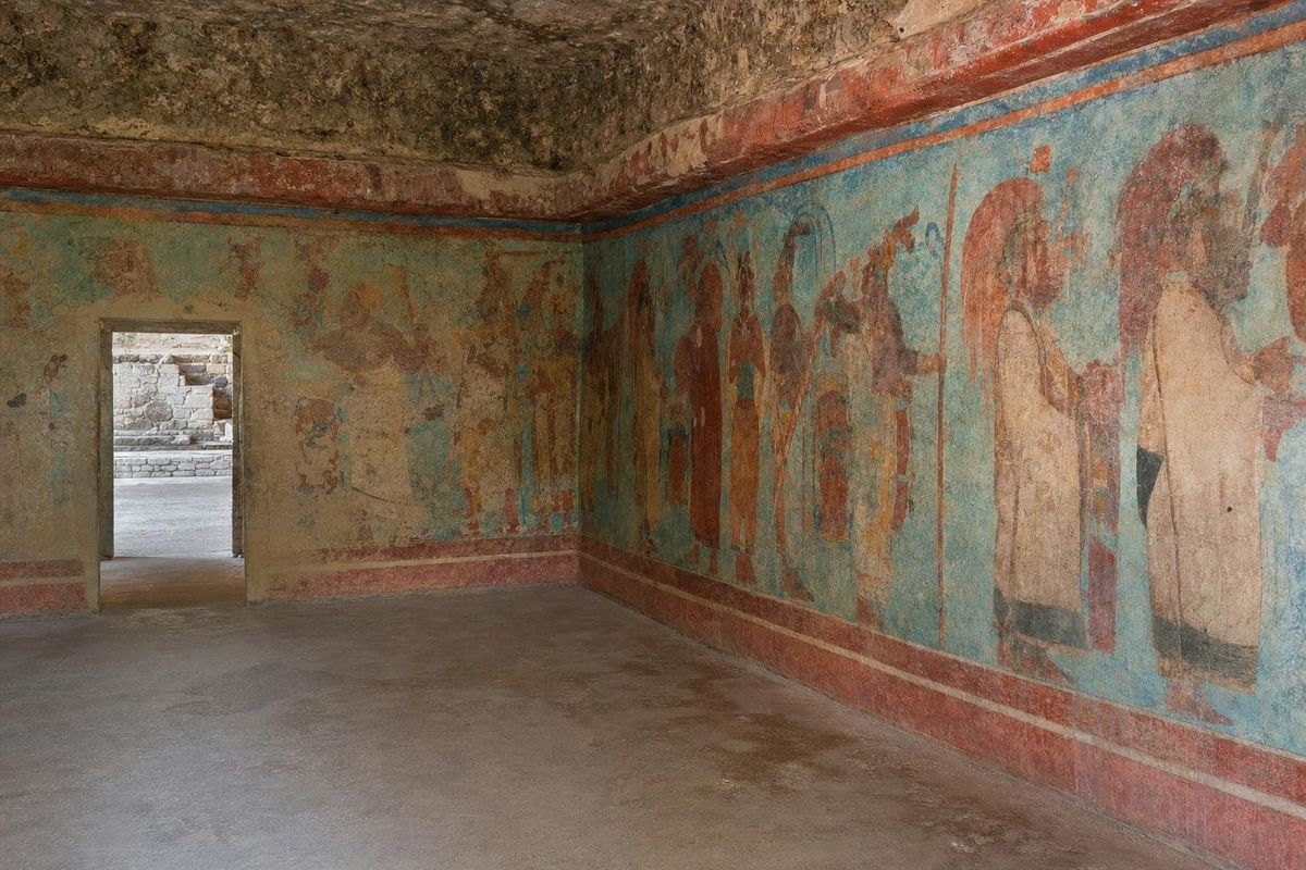
AI-generated image Dress and Ahuianime
Cotton, feathers and strict dress codes: how clothing showed rank in Mesoamerica, and where the Aztec ahuianime fitted in.
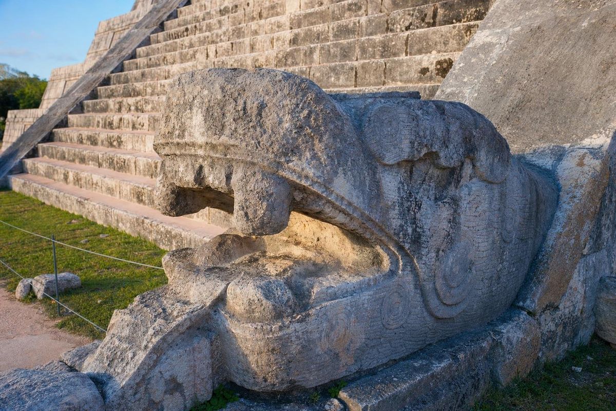
AI-generated image Feathered Serpent
A rattlesnake wearing quetzal plumes ran through 2,000 years of Mesoamerican art, from La Venta to the Castillo at Chichén Itzá.
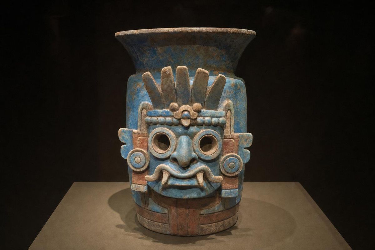
AI-generated image Goggles
Rings around the eyes marked the rain god Tláloc, and for centuries they also marked warriors from Teotihuacan to Tikal.
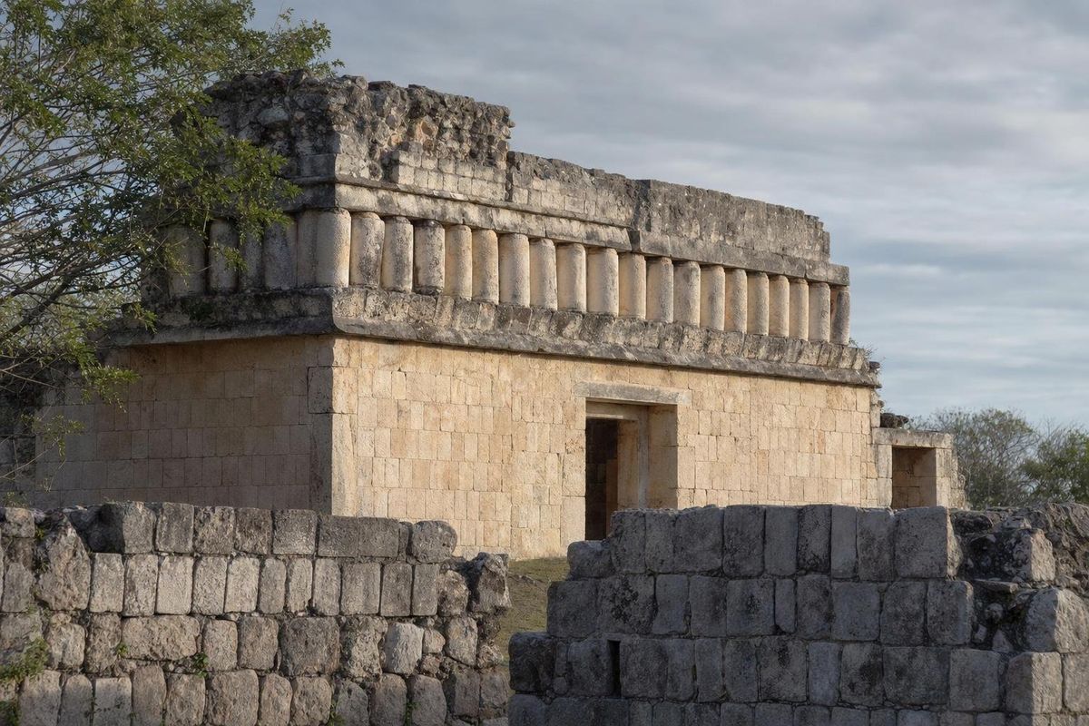
AI-generated image Phallic Cult
Stone phalli at Uxmal and Chichén Itzá point to a northern Yucatán fertility cult that archaeologists are still piecing together.
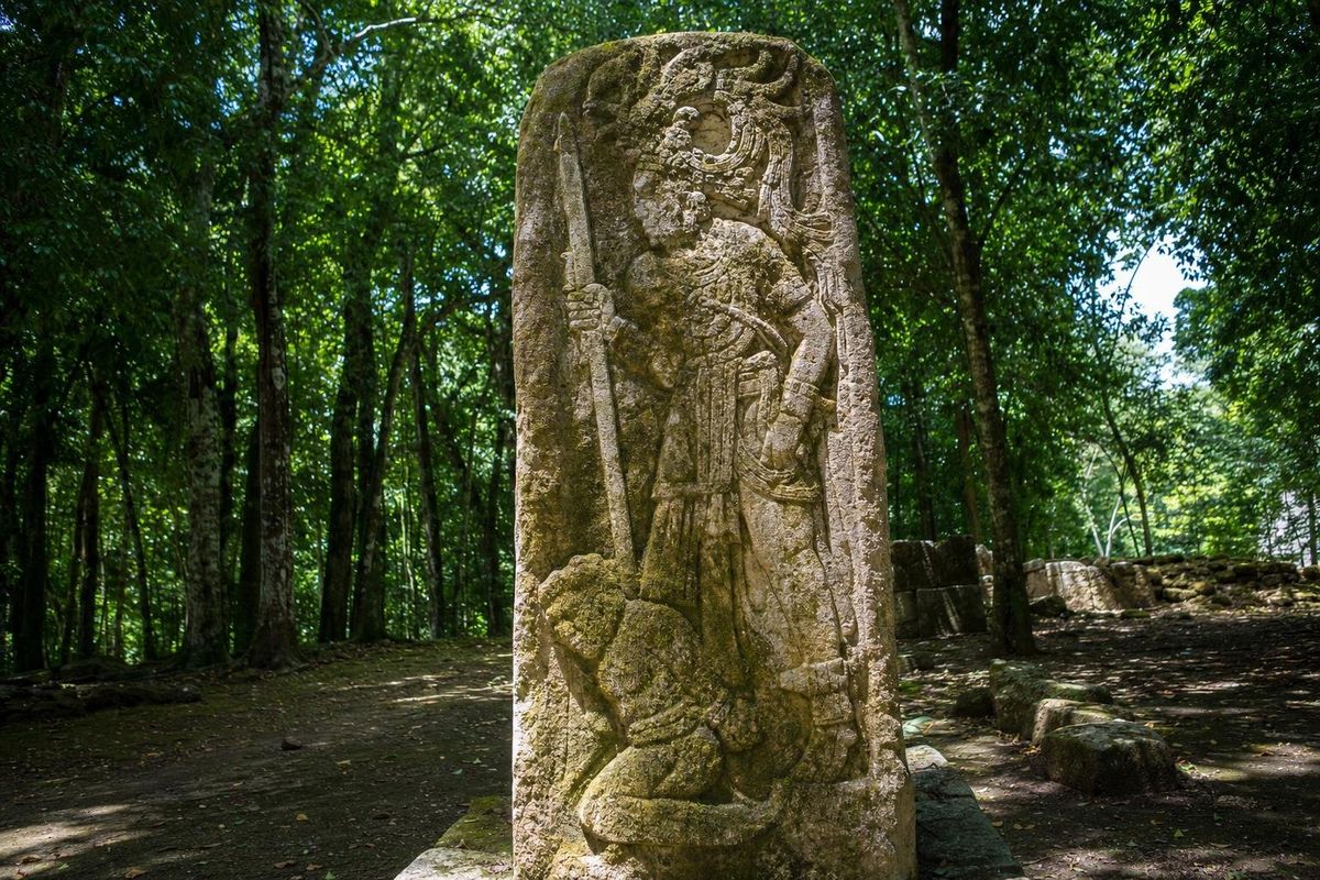
AI-generated image Warriors
Captives, star wars and flint-tipped spears: the evidence that overturned the image of the peaceful Maya.
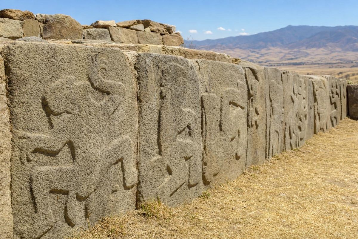
AI-generated image Zapotec Danzantes
Hundreds of carved naked figures at Monte Albán were first called dancers. Most archaeologists now see defeated enemies.
Every guide on the map
Pinch or use + to zoom, drag to move
 AI
Tap a point
The peninsula
Every point is a guide: beaches and cenotes in mint, ruins in white, mysteries in pale green.
Beyond the peninsula
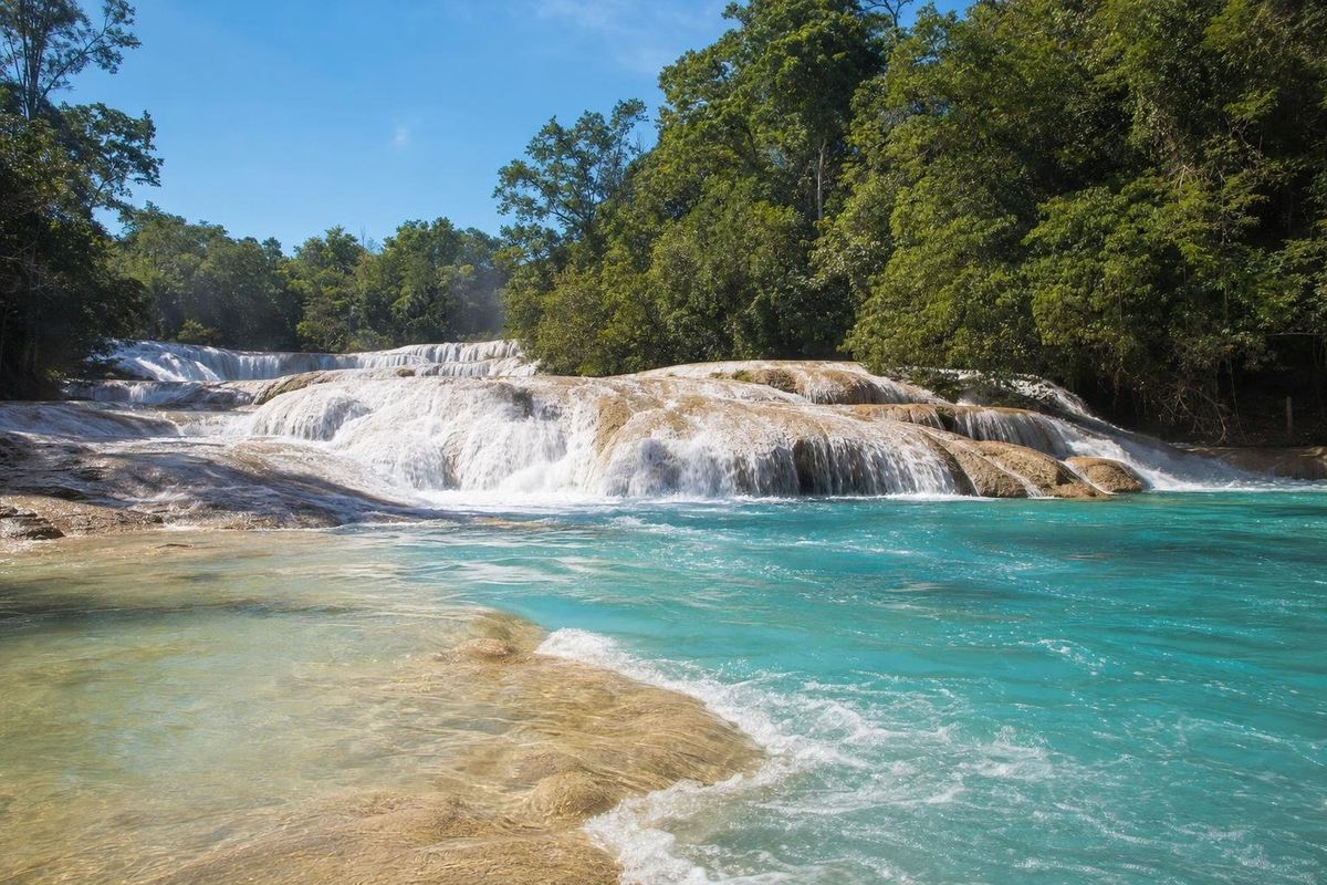
AI-generated image Lakes & Rivers · Chiapas
Agua Azul
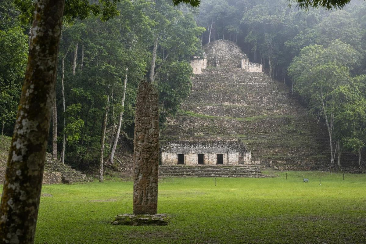
AI-generated image Maya Ruins · Chiapas
Bonampak
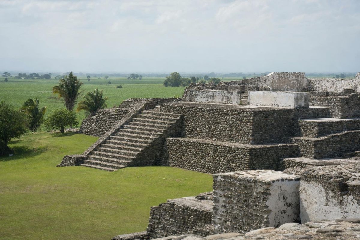
AI-generated image Maya Ruins · Veracruz
Cempoala
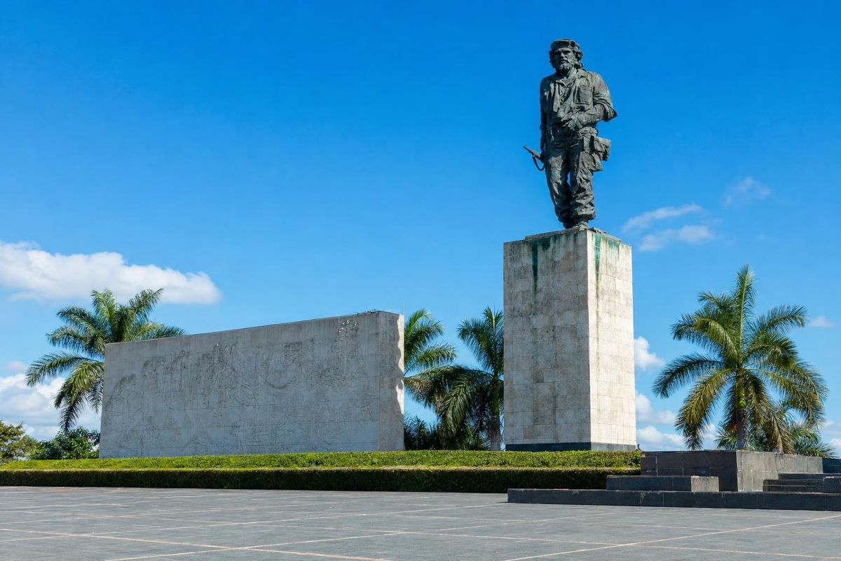
AI-generated image Museums · Cuba
Che Guevara Mausoleum
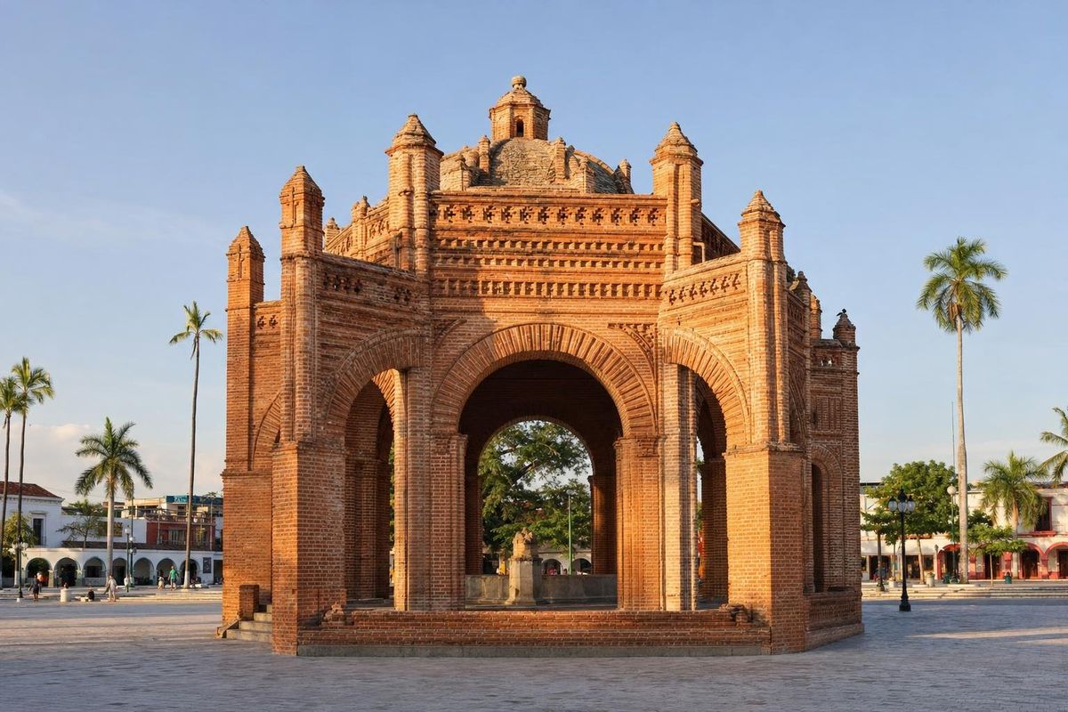
AI-generated image Towns & Villages · Chiapas
Chiapa de Corzo
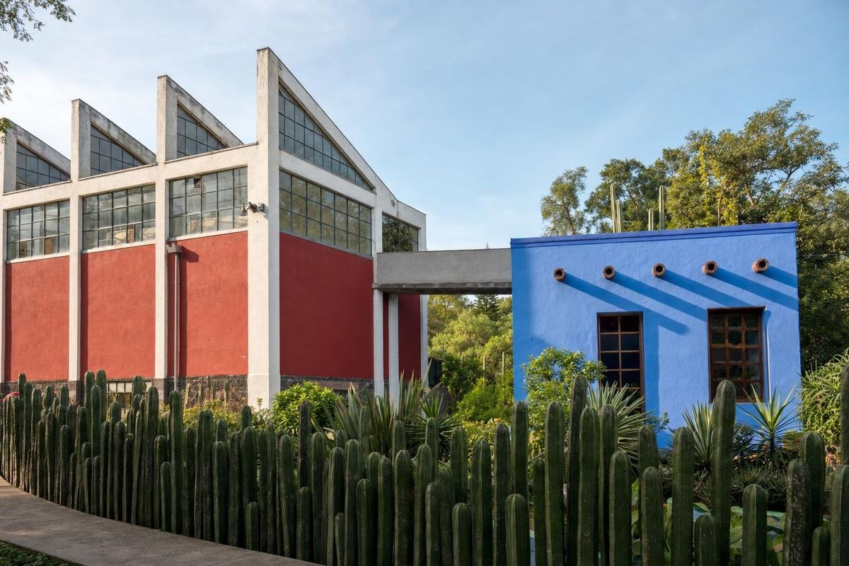
AI-generated image Museums · Mexico City
Diego & Frida Studio-House
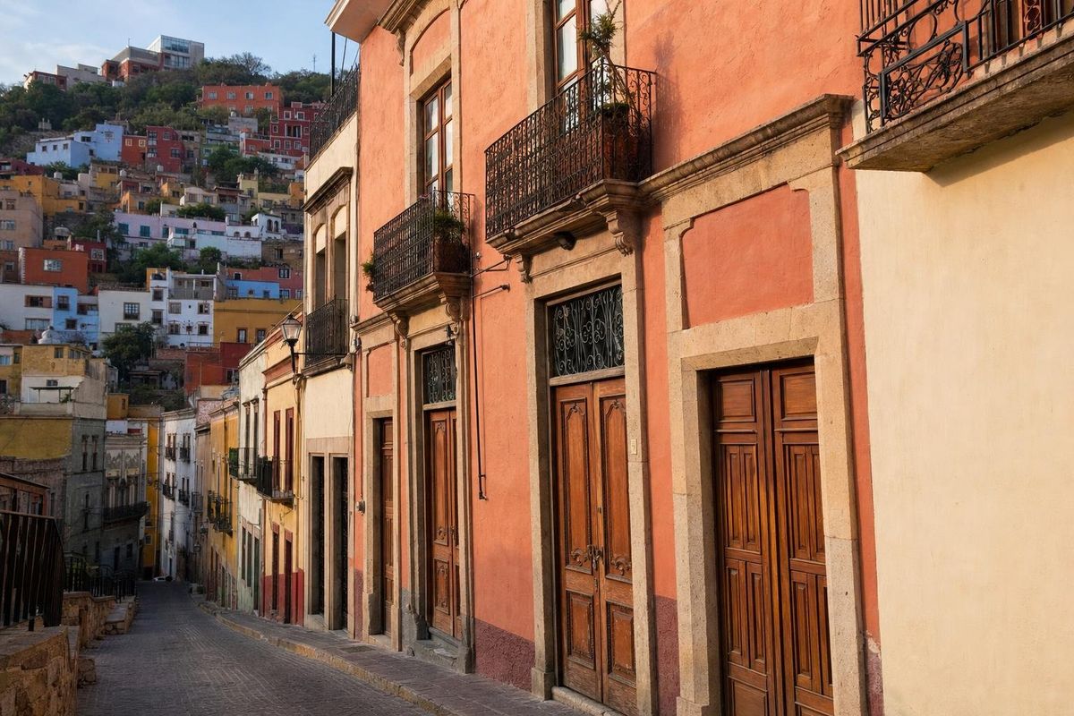
AI-generated image Museums · Guanajuato
Diego Rivera Museum, Guanajuato
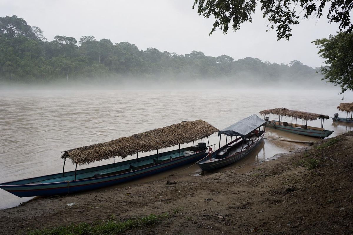
AI-generated image Towns & Villages · Chiapas
Frontera Corozal
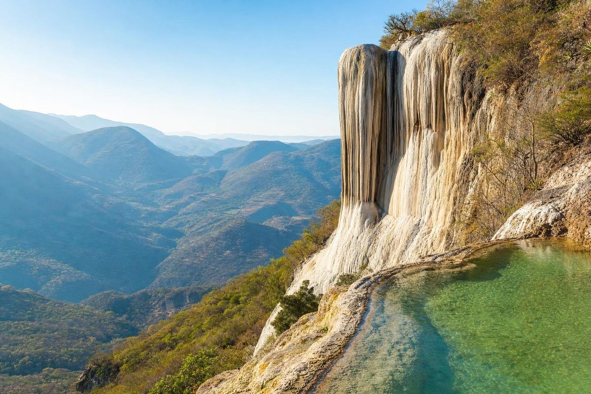
AI-generated image Lakes & Rivers · Oaxaca
Hierve el Agua
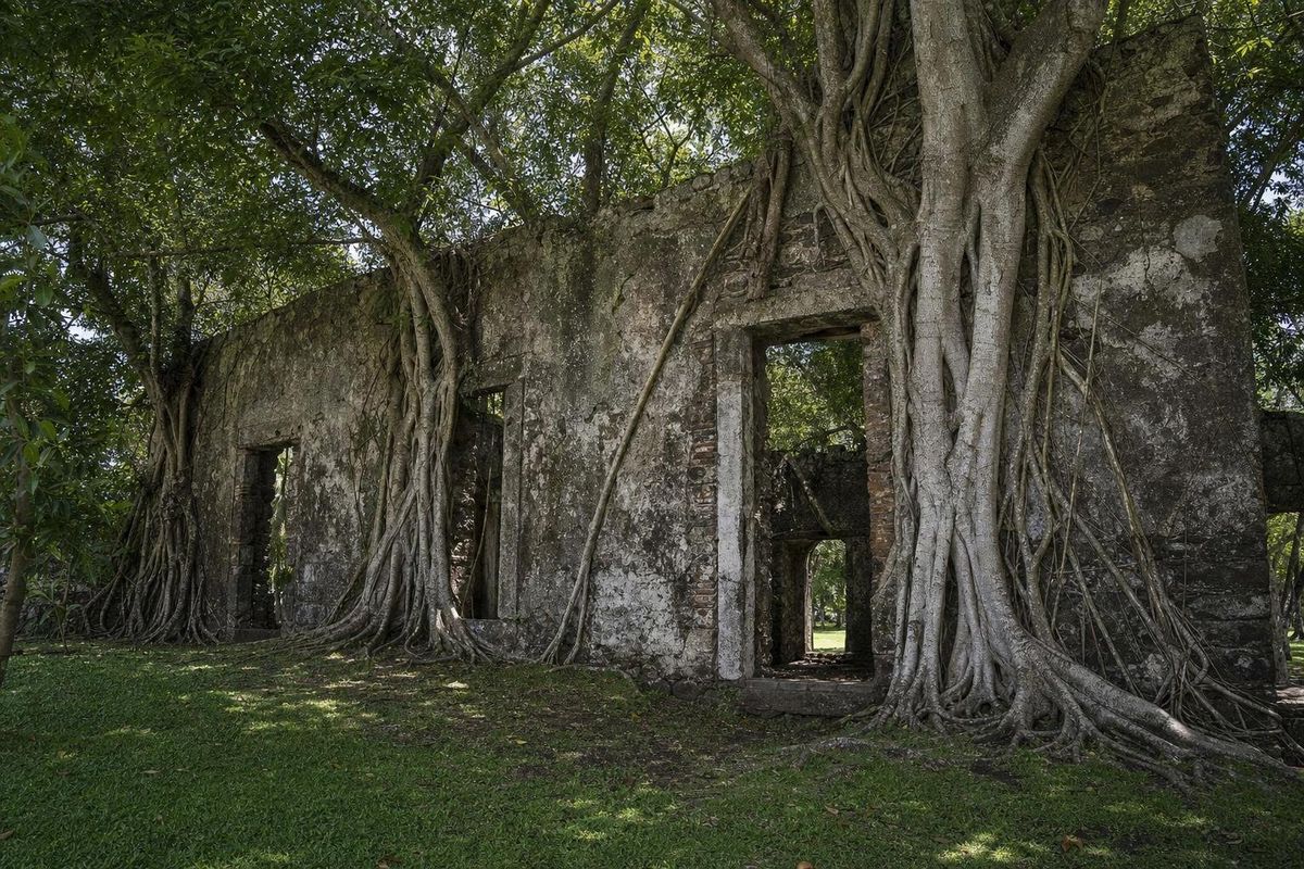
AI-generated image Towns & Villages · Veracruz
La Antigua
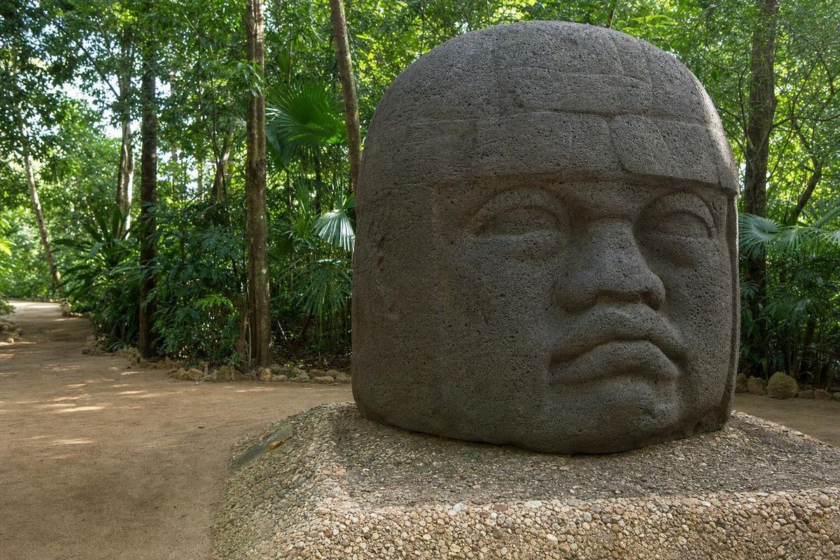
AI-generated image Museums · Tabasco
La Venta
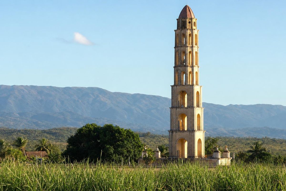
AI-generated image Haciendas · Cuba
Manaca Iznaga
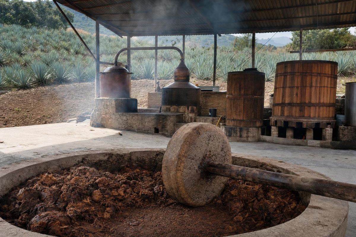
AI-generated image Towns & Villages · Oaxaca
Matatlán
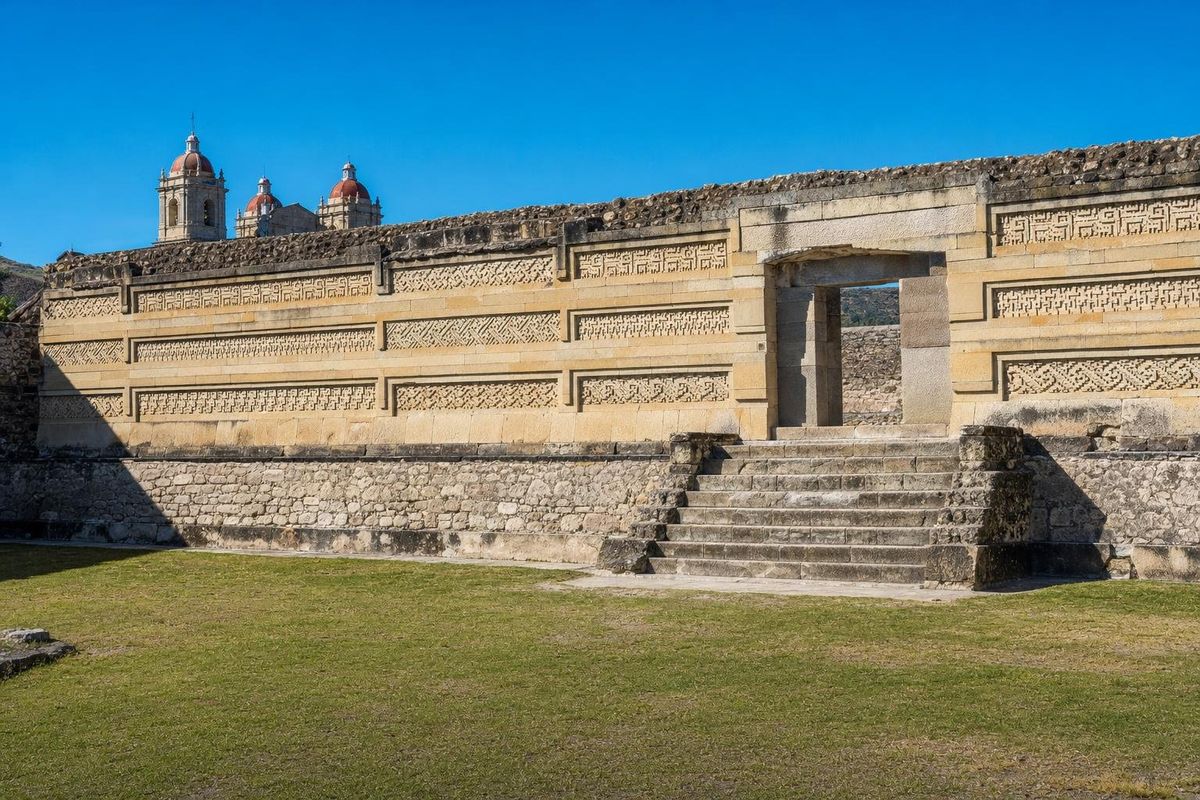
AI-generated image Maya Ruins · Oaxaca
Mitla
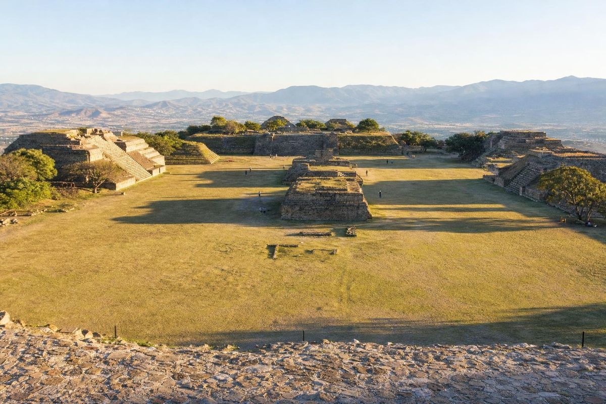
AI-generated image Maya Ruins · Oaxaca
Monte Albán
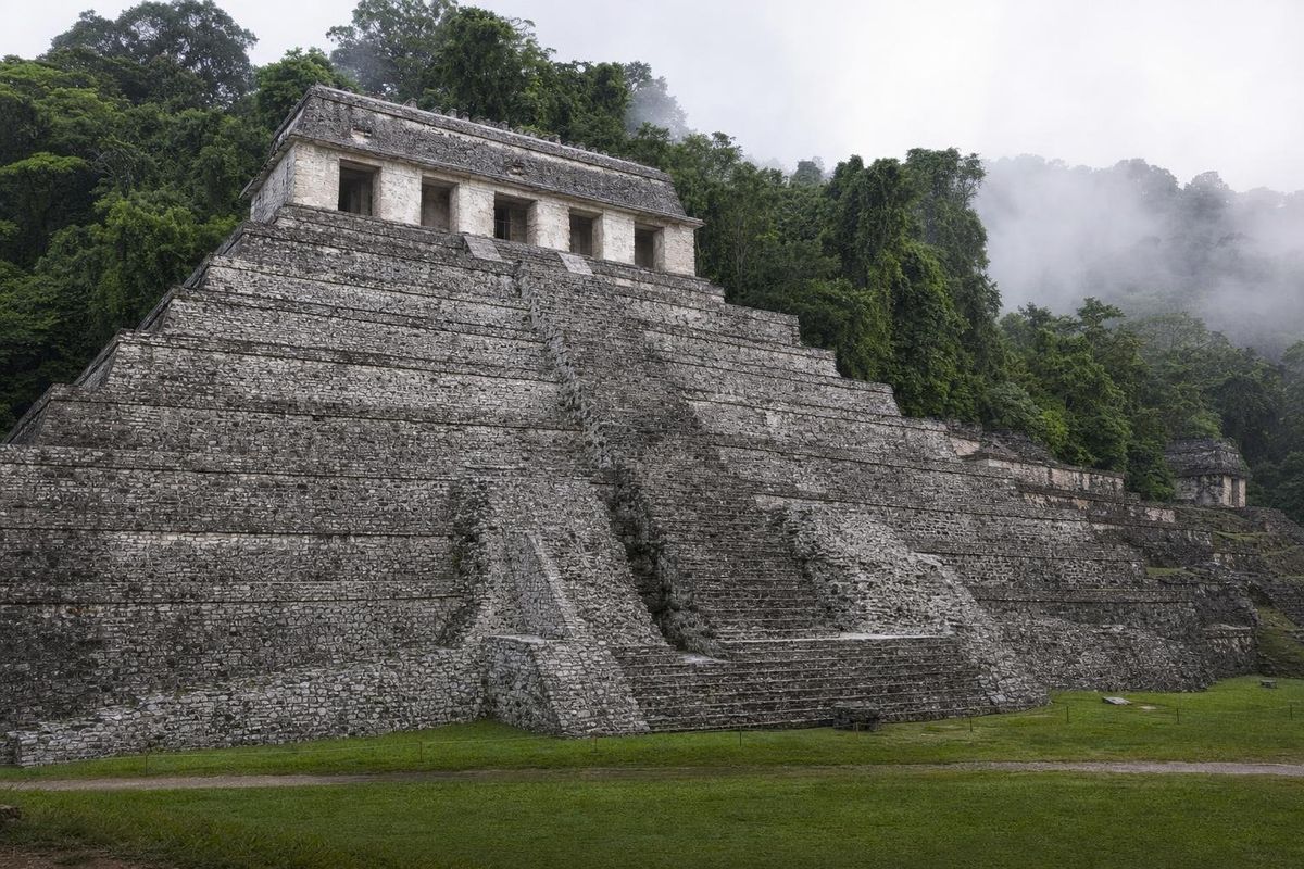
AI-generated image Maya Ruins · Chiapas
Palenque
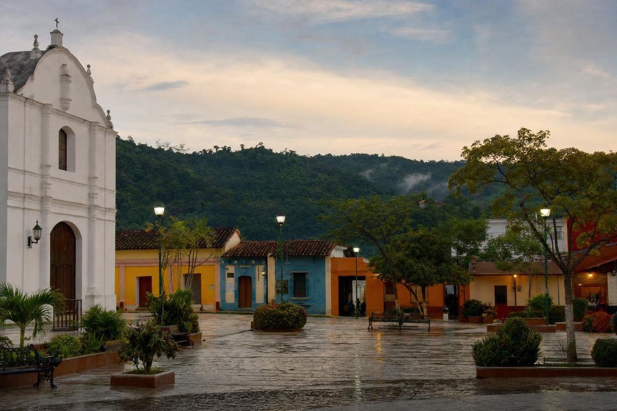
AI-generated image Towns & Villages · Chiapas
Palenque town
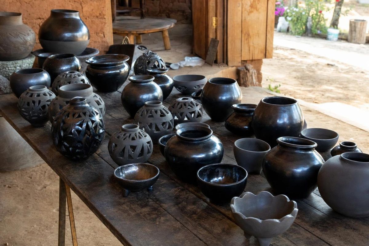
AI-generated image Towns & Villages · Oaxaca
San Bartolo Coyotepec
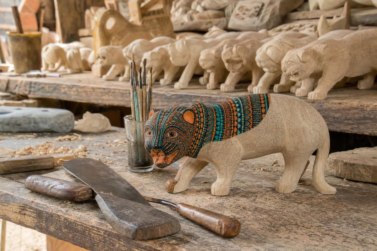
AI-generated image Towns & Villages · Oaxaca
San Martín Tilcajete
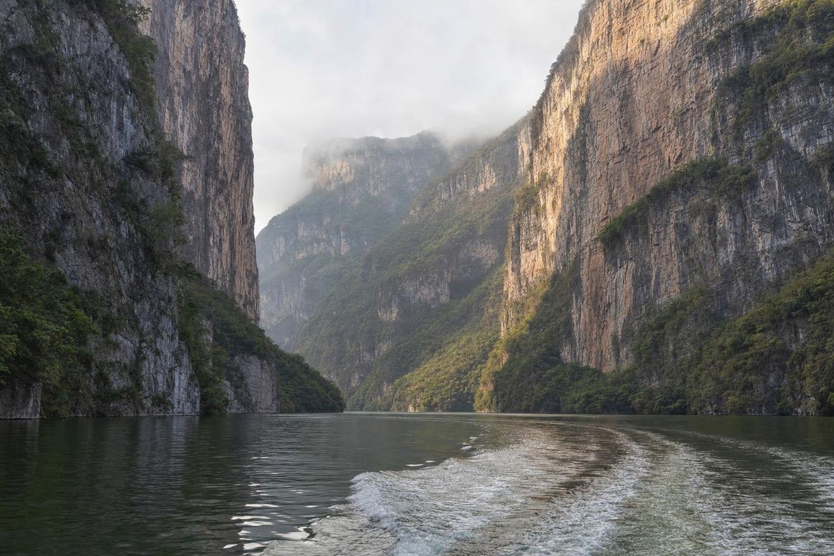
AI-generated image Lakes & Rivers · Chiapas
Sumidero Canyon
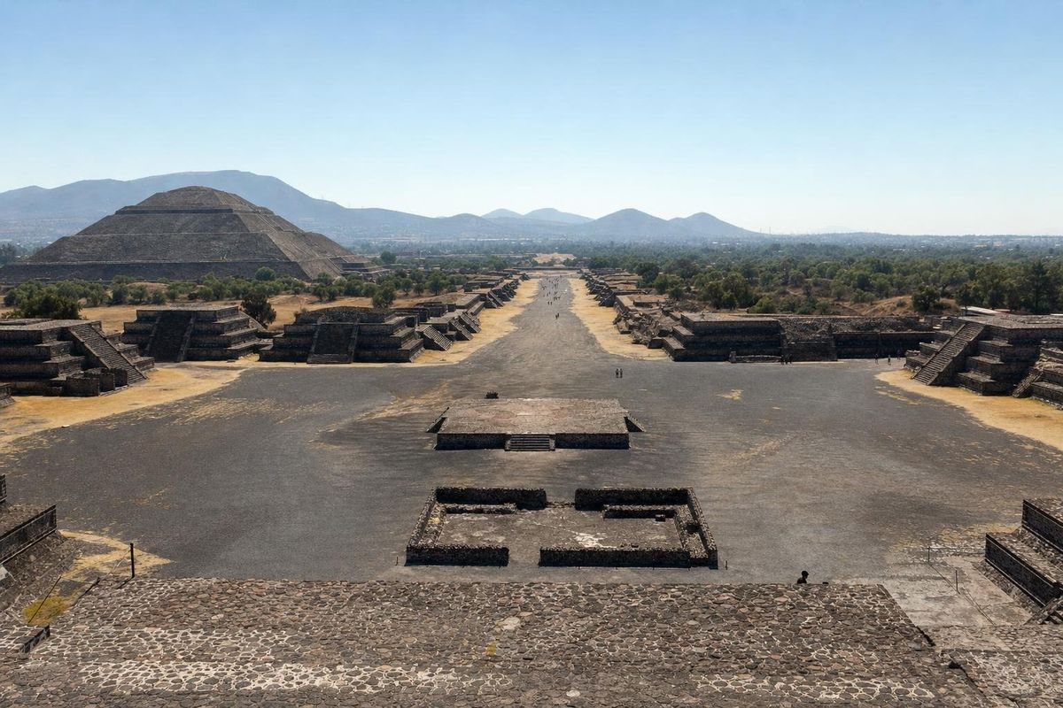
AI-generated image Maya Ruins · State of Mexico
Teotihuacán
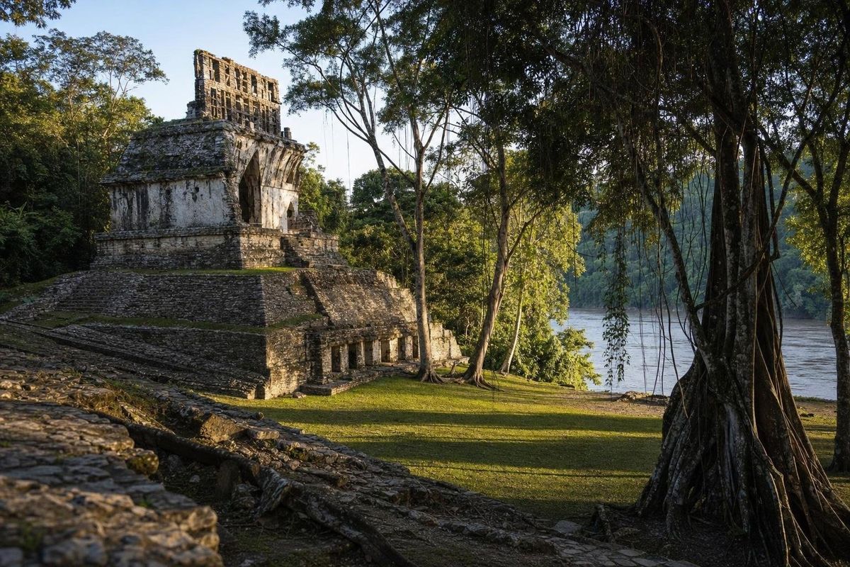
AI-generated image Maya Ruins · Chiapas
Yaxchilán
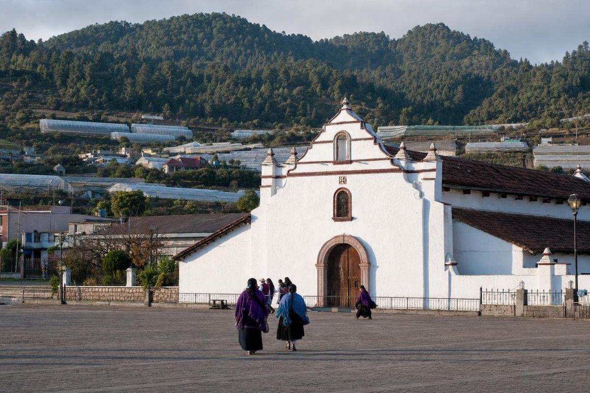
AI-generated image Towns & Villages · Chiapas
Zinacantán
People of Mexico
Oaxaca
Triqui weaving
Long red tunics striped with color and trailing ribbons, woven on backstrap looms in Oaxaca's western mountains.
Chiapas
Tzotzil weaving
Backstrap looms, brocaded huipiles and black wool tunics: the textiles that mark each Tzotzil village in Chiapas.
Oaxaca
Zapotec art
Stepped frets, rain gods and jaguars: how Zapotec designs travel from ancient stone to canvas, paper and wool.
Oaxaca
Zapotec pottery
Red, green and black: three clay traditions of the Oaxaca valleys, shaped without a wheel and fired with wood.
Oaxaca
Zapotec rugs
Cochineal reds, indigo blues and Mitla frets: the wool rugs woven on treadle looms in a village east of Oaxaca city.
Trips to follow
10 days
Around Mexico City
Two loops out of the capital: silver towns to the north, volcanoes, tiles and a buried pyramid to the south.
4 days
Around Valladolid
One colonial town, four mornings: two great Maya cities, a handful of cenotes and a coast of flamingos.
4 days
Cenotes of Yucatán
Four days of swimming holes, from an ancient city's well to cavern pools reached by mule cart.
3 days
Eerie Legends
A boat to a river city, a room of painted battles and a statue whose missing head, legend says, holds back the end of the world.
5 days
Escape Havana
Beach, revolution and sugar barons in five days: a loop east from Havana that comes back along the south coast.
4 days
Puuc Hills
A slow drive through the only hills in Yucatán, with a Maya city around almost every bend and a cave at the end.
One slab of limestone, three states
The Yucatán peninsula is the flat thumb of land that pushes north between the Gulf of Mexico and the Caribbean Sea. It divides into three Mexican states: Quintana Roo along the Caribbean, Yucatán across the north, and Campeche on the Gulf side to the west and south. Underneath it is one slab of porous limestone raised from a shallow sea, which explains most of what a visitor notices, from the missing rivers to the blue water in the sinkholes.
This Yucatán travel guide treats the peninsula as one region, not a string of resorts. Quintana Roo holds Cancún, the Riviera Maya, Tulum, the lagoon at Bacalar and the long, quiet Costa Maya. Yucatán state has Mérida, Valladolid, Izamal, the low Puuc hills and the flamingo lagoons of the north coast. Campeche is the least visited of the three, with a walled colonial port and large Maya cities in the forest near Guatemala.
Maya ruins from the first villages to the Spanish conquest
People speaking Mayan languages have lived here for about three thousand years, and the Maya ruins cover nearly every phase of that span. Early platforms sit beneath later temples at places like Acanceh, where a pyramid rises at the edge of the town square. The great Classic cities flourished in the first millennium AD; Calakmul in Campeche was one of the two superpowers of that age. As the southern centers emptied, Chichén Itzá rose in the north, and after it Mayapán. Small walled ports were still trading on the Caribbean shore when Spanish ships appeared in the 1510s.
The Maya never disappeared. Yucatec Maya is still spoken in markets, village plazas and on city buses, and many towns grew directly on top of older settlements. Mérida was founded in 1542 on the site of the Maya city of T'hó. The Maya ruins pages explain what each site was and which buildings matter, from El Rey, surrounded by hotels and sunbathing iguanas in Cancún, to temples that take a full day's drive to reach.
Cenotes: where the rain goes
Rain here does not gather into rivers. It soaks through the limestone and moves underground through flooded caves, some among the longest ever mapped. Where a cave roof collapses, the water table opens to the sky and a cenote forms. The name comes from the Yucatec Maya word ts'onot.
Cenotes come in three broad shapes: open pools ringed by trees, half-covered caverns lit through a hole in the roof, and fully underground chambers reached by stairs. In the northwest of Yucatán state, a crescent of them traces the buried rim of the Chicxulub crater, left by the asteroid impact of about 66 million years ago that most geologists link to the end of the dinosaurs. For the ancient Maya they were also doorways to the underworld. Today swimmers are asked to shower and to skip sunscreen and repellent, because the water in cenotes is the same water the region drinks. Xcajum, north of Valladolid, is a good example of how a rural cenote is reached and used.
Beaches on two coasts that barely resemble each other
The Caribbean side is the one on postcards: white sand ground from coral, water shading from pale green to dark blue, and the Mesoamerican Barrier Reef running offshore toward Belize and Honduras. The beaches of Quintana Roo range from packed hotel strands to fishing villages such as Mahahual, where the reef lies close enough to snorkel from the shore.
The Gulf coast feels like a different country. The water is shallow, greener and calmer, mangroves sit behind the sand, and towns like Progreso and El Cuyo fill with Mexican families on holidays rather than with foreign tour groups. The lagoon at Celestún is known for flamingos, which feed there in large flocks for much of the year. Sargassum seaweed is mainly a Caribbean problem, piling up in some years from spring into late summer.
Maya mysteries: the figures in the stone
Carvings and murals across the Maya world repeat a cast of characters: a feathered serpent, a god diving head first from the sky, ballplayers, warriors and faces framed by goggle-like rings. The Maya mysteries section takes these figures one at a time and sets out what published research says about them.
Much of this became readable only in the second half of the twentieth century, once epigraphers showed that the glyphs record language, names and dynastic history. For that reason Maya mysteries pages name their sources and say plainly when a reading is still a theory.
Planning: seasons, distances and getting around
Any Yucatán travel guide has to start with the weather, and the peninsula has two seasons. The dry months run roughly from November or December to April, with May usually the hottest month inland. Rain arrives around June and lasts into October, mostly as afternoon storms. The Atlantic hurricane season runs officially from June 1 to November 30, with the highest risk usually between August and October.
Distances are longer than the flat map suggests, and a Yucatán travel guide written around one base town usually underestimates them. Cancún to Mérida is roughly 300 kilometers by toll highway,. A rental car gives the most freedom for small cenotes, beaches and ruins off the main roads. First-class long-distance buses link the main towns, shared vans called colectivos cover shorter hops, and the Tren Maya railway has been opening in stages since late 2023. Fares and timetables change often; check them locally.
How this Yucatán travel guide is organized
The magazine has five sections. Hammocks covers places for slow days: beaches, cenotes, islands, lakes and rivers, jungle reserves, towns, haciendas and museums. Maya Ruins covers the archaeological sites. Maya Mysteries explains the recurring figures in the carvings. People of Mexico looks at crafts and the communities that keep them going. Trips link places into routes, such as a loop through the Puuc hills south of Mérida.
Most pages concern Quintana Roo, Yucatán and Campeche, with a handful elsewhere in Mexico and in Cuba. Each page of this Yucatán travel guide sticks to what can be checked: location, geology, history, and what the archaeology suggests. Prices, opening hours and entrance fees are left out on purpose.
Yucatán travel questions
How many days does a first trip to the Yucatán peninsula need?
About a week covers one coast, a couple of cenotes and two or three ruins without rushing. Two weeks allows a loop that takes in both the Caribbean and the Gulf side, Mérida and the Puuc hills, or Bacalar and the southern forest sites.
When is the best time of year to visit?
The dry season, roughly November to April, has the most comfortable weather for walking ruins. The rainy months are greener and quieter but hot and humid, and they overlap with the Atlantic hurricane season from June to November.
Which Maya ruins are closest to Cancún?
El Rey sits inside the hotel zone and El Meco lies just north of the city. Tulum, Cobá and Muyil are within a couple of hours to the south, and Chichén Itzá is a long day trip to the west.
Is swimming in cenotes safe?
Cenotes open to visitors usually have stairs, platforms and life jackets, and many require them. The water can be very deep and cold, so weaker swimmers should wear a vest, and cave diving should only be done with certified guides.
How do the Caribbean and Gulf coasts differ?
The Caribbean coast has clear water, white sand and a barrier reef, along with most of the hotels. The Gulf coast is shallower and greener, with mangroves, flamingo lagoons and small fishing towns that see far fewer foreign visitors.
Is the Maya language still spoken in Yucatán?
Yes. Yucatec Maya is one of the most widely spoken Indigenous languages in Mexico, heard daily in villages and markets across all three states, and it survives in thousands of place names such as Dzibilchaltún and Xcaret.